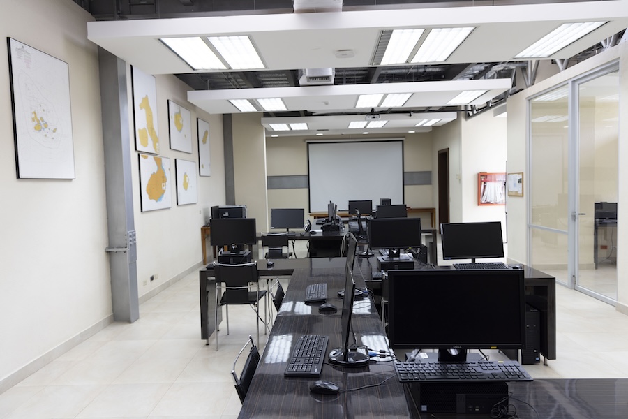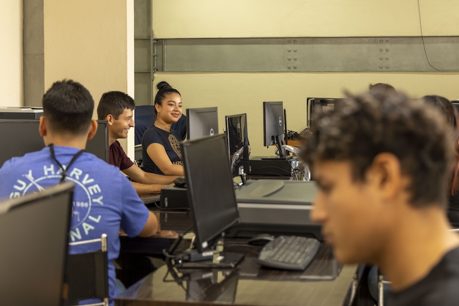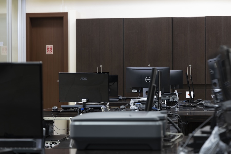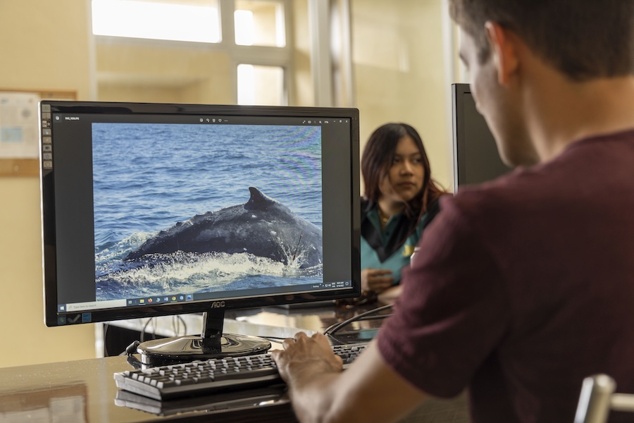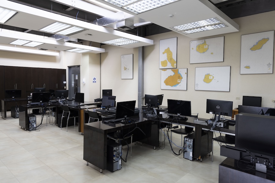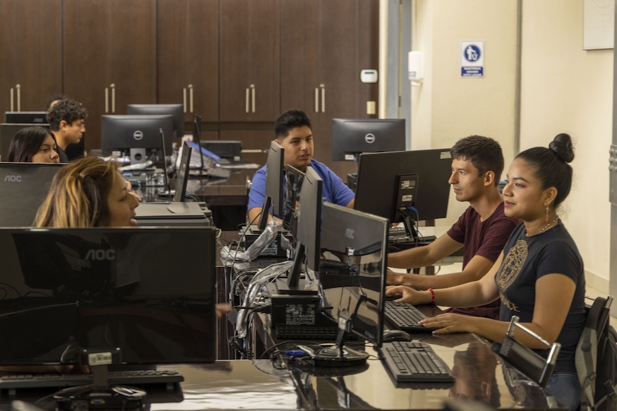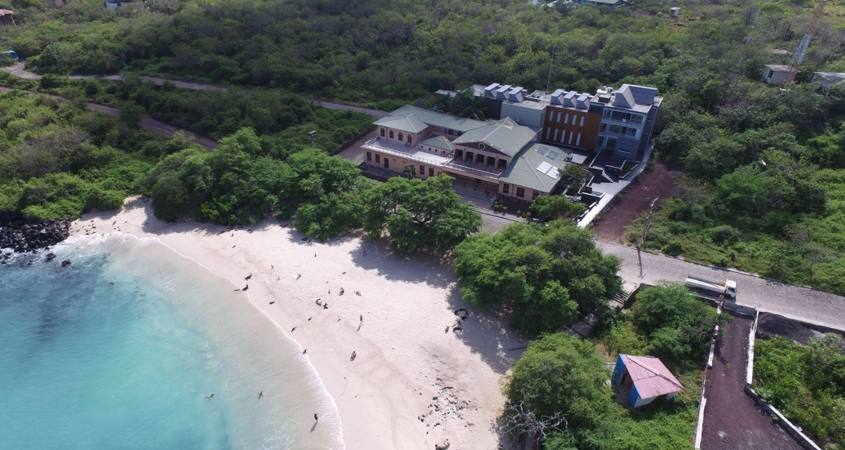
DATA SCIENCE AND VISUALIZATION LABORATORY
No research facility is complete without the tools needed to track, model and visualize information and data.
Geographic information systems (GIS), scientific data visualization, mapping and GPS representation, as well as spatial and statistical modeling are all emphasized in the GSC’s Data Science and Visualization Lab. Computers, plotters, scanners, and specialized software platforms are available for scientists, students, and course instructors as well as the local community involved in our outreach programs.
Whatever is needed to do the work, this lab is the backbone of the research conducted in the GSC.
Some of the projects in this laboratory include:
Monitoring and mapping of habitat and spatial analysis of migratory, endemic, and introduced species in Galapagos.
Monitoring and mapping of threats to Galapagos due to plastic pollution.
Biogeographic history of endemic plants such as the Guayabillo in Galapagos.
Observatory of climate change in the islands.
Mapping of habitats of importance located in rural ecosystems.
Use of drones to create real-time mapping and construction of future predictive models of the distribution of native and introduced species.
Land use.
High resolution study on microclimates of various plant zones on San Cristóbal Island.
Monitoring and control of companion and feral animals in urban areas.
Development of proposals to help advise touristic routes in Galapagos.
The Data Science and Visualization Lab is equipped with the following:
- Two-Way Radios Uniden GMR5089-2CKHS
- Marine VHF Radios Icom-ICM73
- Two-Way Radios Motorola MJ430CR GMRS/FRS
- Two-Way Radios Midland GXT795VP4 with charger
- GPS Garmin GPSMAP 62sc
- GPS Garmin eTrex Venture HC
- GPS Garmin GPSMAP 60CSx
- GPS Garmin GPSMAP 64sx
- GPS Garmin RINO700 Handheld with two-way radio
- Satellite Phone Inmarsat IsatPhone2
- Hypsometers
