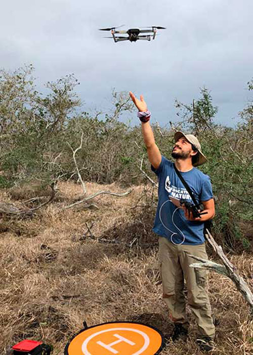
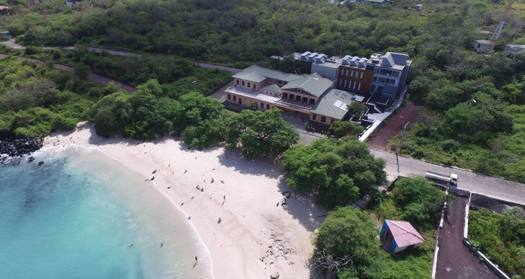
A team of five Ecuadorian researchers: Francisco J. Laso, Fatima L. Benitez, Gonzalo Rivas-Torres, Carolina Sampedro and Javier Arce-Nazario coupled satellite and drone imaging with a sophisticated mapping software to create the first complete maps of the non-protected highland zones of the Galapagos Islands.
These maps are the first of their kind because the agricultural zones are almost always cloudy, challenging traditional geographic information system methods.
Francisco J. Laso is an Ecuadorian WWF Russell E. Train fellow who collaborated with a team of researchers from the UNC and USFQ to complete the first comprehensive maps of vegetation cover of the highlands of the inhabited Galapagos Islands.
The team published the article “Land Cover Classification of Complex Agroecosystems in the Non-Protected Highlands of the Galapagos Islands” in a special edition of Remote Sensing Journal, “Remote Sensing of Human Environment Interactions” available at https://www.mdpi.com/2072-4292/12/1/65 You can download the maps free of charge towards the bottom of the page in the “Supplementary materials” link.

Gonzalo Rivas-Torres, co-author, explained in his interview on GSC´s local radio show “Con Ciencia” on Wednesday, January 8th, 2020 that this research responds to a collective request from local institutions to consolidate baseline information useful for both the agricultural and conservation sectors.
The authors would like to thank MAG, INIAP, CDF, GNPD and Galapagos farmers for their support. This project would not have been possible without them.

